In my spare time, I teamed up with my old colleagues, the lovely faculty members at the University of Szeged, Department of Physical Geography and Geoinformatics to ask them for data donation. I couldn’t be happier to announce that after months of procrastination, some other delays and some more months of procrastination on my side, finally I am able to release a high resolution aerial imagery to the OpenStreetMap community for the solely purpose of mapping.
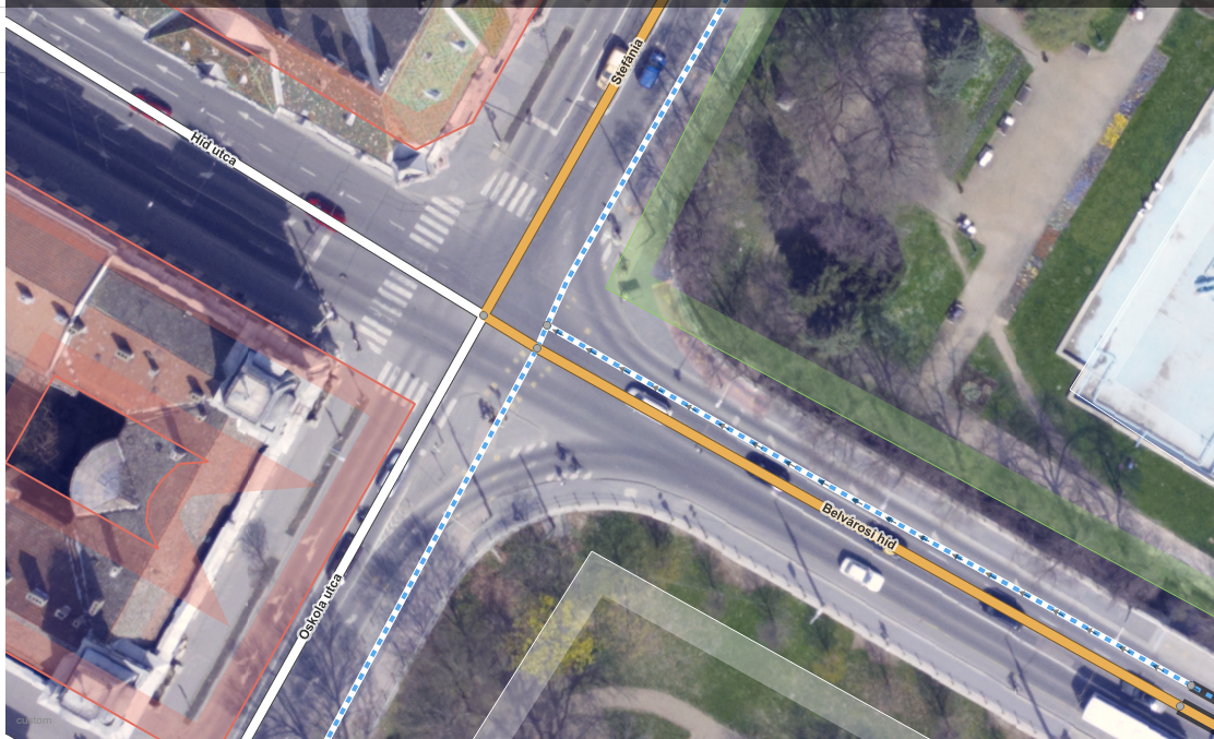
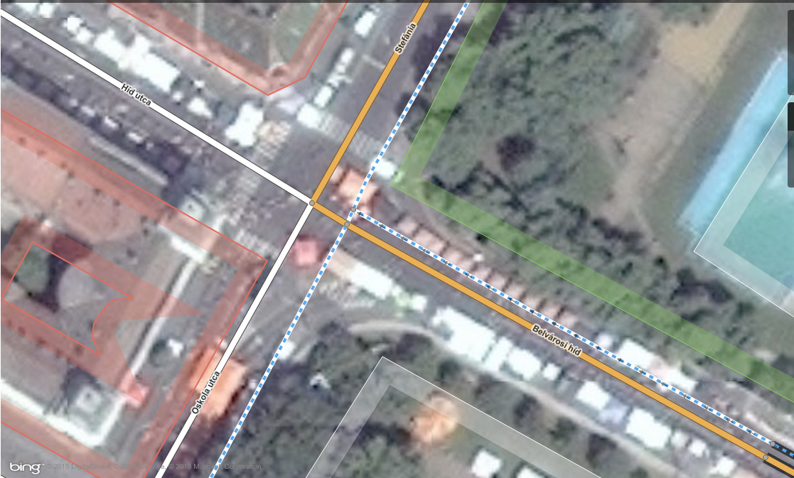
The ortophoto with a 10 cm of ground pixel resolution is a huge improvement (compare picture of the previously available Bing imagery below). This is the best detailed imagery available for the city of Szeged. Although the imagery is available to anyone, I expect only local communities and mappers from Hungary to find it extremely useful. It will also help me to understand how one data source can possibly affect another, which will eventually lead towards defining better research questions. Most of the edits made based on this imagery can be monitored with this query. It will worth revisiting in a few months, I swear.
So, high resolution aerial photography is available at the following TMS address (both in JOSM and iD):
http://e.tile.openstreetmap.hu/szeged-2011-10cm/{zoom}/{x} /{y}.png
I will also include it to the official iD editor soon, so everyone can add it with a few clicks. Happy mapping everyone, let’s open up some data!


Pingback: jlevente’s Diary | Position statement for the 2023 OSM US Board Elections – DataGene