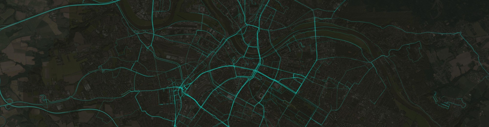
Radius of gyration is a metric to quantify distributions around a center location. Its applications range from structural engineering to molecular physics. Since it incorporates the idea of dealing with locations, it can be applied for geographic data, as well. I recently came across with it in some global mobility studies where the goal was to characterize the travel patterns of individuals. In those papers, the metric indicates whether a person is more likely to travel long distances or not. In my research, where I am interested in geographic data contributions of volunteer mappers, I found it to be extremely useful to decide if the overall contribution shows local or global patterns. For many years, local knowledge was considered to be the main advantage of this so-called user generated geographic information. Local guys know the place, let them draw maps, let them take photos and the product will be accurate. While this is most probably true, it also seems that some of these guys like to do the same thing in distant places so there might be other factors than localness that can make these data sources accurate, therefore extremely valuable. Everything is up to the people who contribute, so the ultimate goal is still to understand their behavior. Now, enough of the crazy talk. Click on “read more” to do some fancy math and coding.
Radius of Gyration
2 Replies