The global State of the Map 2019 conference this year will again feature a full day of academic talks. On behalf of the Scientific Committee, I am delighted to invite you to submit your abstract.
We are looking for scientifically rigorous contributions between 500 and 800 words. Please consult the Call for Academic Abstracts for full details. Submission deadline is May 10. Questions should be sent to academic-sotm [at] openstreetmap [dot] org.
State of the Map 2019 Where: Heidelberg, Germany When: September 21-23, 2019
Scientific Committee:
Dr. Marco Minghini – EC Joint Research Centre, Ispra, Italy Dr. A. Yair Grinberger – Heidelberg University, Germany Dr. Peter Mooney – Maynooth University, Ireland Dr. Levente Juhász – Florida International University, USA Dr. Godwin Yeboah – University of Warwick, UK
We are organizing a workshop at the AGILE 2019 conference which will be held this June in Limassol, Cyprus. The workshop is titled as “VGI HATcH – Using Volunteered Geographic Information for Help and Assistance in Transport and Humanitarian operations”. Consider submitting your contributions. Looking forward to seeing you there!
This full-day workshop provides an opportunity for interested researchers and practitioners to share ideas and findings on innovative methods for the spatio-temporal analysis of crowd-sourced data, to demonstrate real-world applications using data from different crowd-sourcing platforms, and to discuss technical questions and innovations on data access and data fusion. The first portion of the workshop consists of short paper presentations under the general workshop theme. The second portion focuses on showcasing practical applications of VGI and social media. This includes but is not limited to: demonstrations of successful examples of using VGI/social media for humanitarian operations; use of VGI/social media for decision support in government on health societal or transport issues; use of VGI/social media or Open Data for improvement of base maps; short tutorials or demonstration of VGI/social media data analysis methods and data extraction from various online resources. Accepted papers and abstracts will be uploaded to the workshop Website. The workshop editors plan to host a special issue in the ISPRS International Journal of Geo-Information journal as a follow up to the workshop. Workshop presenters will be invited to submit full papers.
We are looking for short paper or demo submissions in this domain. More info can be found on the workshop website at http://www.cs.nuim.ie/~pmooney/vgi-hatch2019/. Any questions, feel free to ask.
Yes, another data import because they are not evil! Check these resources to learn more about how we added most buildings and address points to the map in Miami-Dade County.
Last October I went to Colorado. The purpose of this trip wasn’t hiking (okay, I went hiking as well) but to attend the State of the Map US conference held at the University of Colorado Boulder. My talk was about how we’re trying to build a geospatial community in South Florida and I presented some results of our OSM building import. Recordings came online recently so here’s a video of my talk. Enjoy.
P.S. Hiking was also great. You’ve got to visit Colorado during fall! It’s amazing.
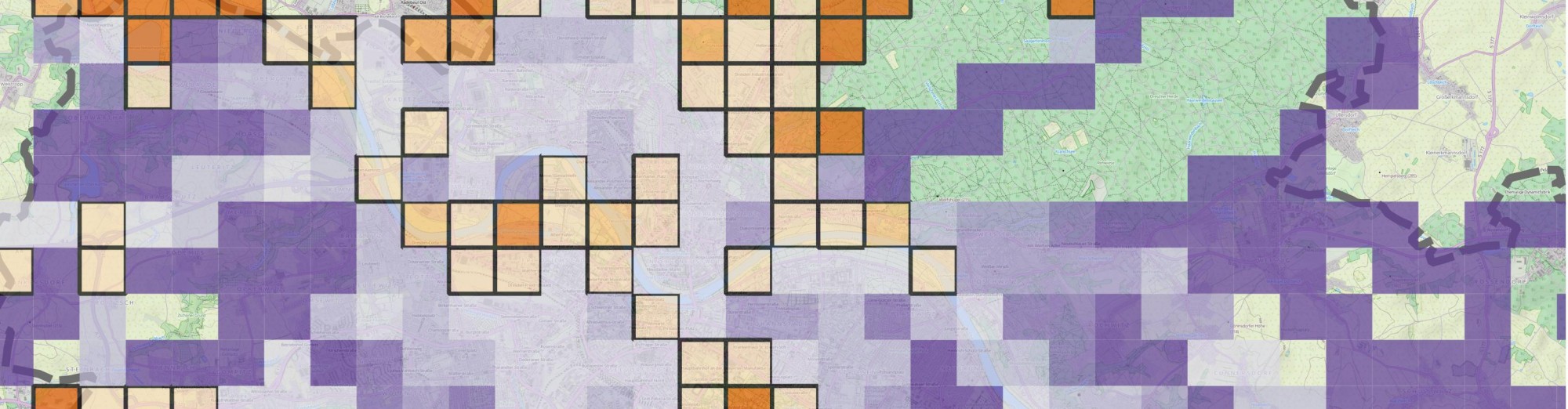
Oops, I forgot to share my “new” videos I made this June. Better later then never, I guess. Anyways, it’s part of my research that aims to understand how regular people on the Internet use different mapping platforms. Well, not just mapping platforms but basically any platforms that you can think of including Instagram, Foursquare, Twitter, Facebook an many more. We know that many of you use multiple services during your daily routines. Previous research focused on each of these data sources separately so we have a lot of knowledge on them (not playing the Big Brother here, I’m talking about an aggregated level). However, we do not yet know how the same individual uses these services simultaneously. Do activity spaces overlap? Is there a single main service or do people use different services with the same intensity? Does the introduction of a new service affect previous usage patterns? Can the user base from a platform drained by another? How do these processes work in time and space? Well, and I have many more questions. Probably way more questions than I can realistically answer, especially when don’t just talk about simple social media photos but really high quality mapping activities (as in editing OpenStreetMap and taking Mapillary street level photos specifically for mapping).
Nevertheless, I started working on this kind of research and made some early visualizations. Below are two videos showing how OpenStreetMap users pull images from Mapillary and edit the map based on other people’s contributions. How crazy is that? You grab one source of user generated content to improve another? Who would have thought about that 5 years ago?
The first map shows to what extent an OSM mapper loaded Mapillary photos to his editor (cyan rectangles) and showcases (with labels) whenever an editing activity based on those photos could have been identified. It means that people really check photos over an extensive area just to see if they can find some new details to add to the map. I think it’s impressive.
In case you haven’t made your summer vacation plans yet, I happen to be a guest lecturer for this intensive summer workshop/course. It’s mainly designed for wildlife ecologists so you might wonder what I’ll be doing there. Well, wherever spatial data is involved, I’m there!
While I surely won’t be the person providing ecological context, hopefully my participation will provide some different insights to the world of geographic data handling with spatial databases. I’ll try my best and come up with an interesting lecture about the possibilities of PostGIS in spatial data handling. You know, all the cool stuff. Buckle up, it will be an interesting course that is extremely useful for ecologists. Hoping to see you there!
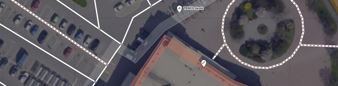
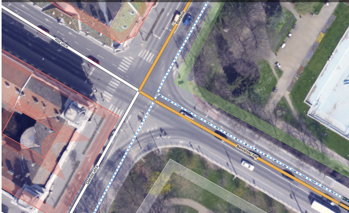
A year ago, high quality aerial imagery with a 10cm ground resolution was made available to the OSM community in Szeged, Hungary. It’s a very good example of not just sitting on the data but trying to make use of it. In theory, OpenStreetMap community can absolutely benefit from having a data source like this as there are way more details to be derived from such high resolution imagery. Also, the positional accuracy of the orthophoto is worth mentioning. You know, this is the kind of aerial photograph that you can make measurements on, like if it was a true map. It’s important because you can skip playing with different offsets and dragging your base map around to make it appear in its “true” position before you can actually start mapping. So, truth’s been told. It’s cool, but what the heck is with it?
Well, It’s been a year or so. I can talk about the benefits for days but it doesn’t really matter if no one is acting accordingly, right? There are things that “should” work in theory but when it comes to online communities… well, that’ a whole different story. Anyway, let’s lurk around and see what awesome mappers of OSM think about all this (oh, did I just say awesome people of OSM? Is it a spoiler? Oh well, I guess you have to click on the link below and read more to figure it out.)
In my spare time, I teamed up with my old colleagues, the lovely faculty members at the University of Szeged, Department of Physical Geography and Geoinformatics to ask them for data donation. I couldn’t be happier to announce that after months of procrastination, some other delays and some more months of procrastination on my side, finally I am able to release a high resolution aerial imagery to the OpenStreetMap community for the solely purpose of mapping.
Végre sikerült összehozni egy régi tervemet. Nagy örömömre szolgál bejelenteni, hogy a Szegedi Tudományegyetem Természeti Földrajzi és Geoinformatikai Tanszéke jóvoltából az OpenStreetMap közösség szabadon felhasználhatja a Szeged körtöltésen belüli részéről 2011-ben készült, nagy felbontású ortofotó állományt térképszerkesztés céljából.